
St Mary's County, MD
Its all Here…
Explore Features Map

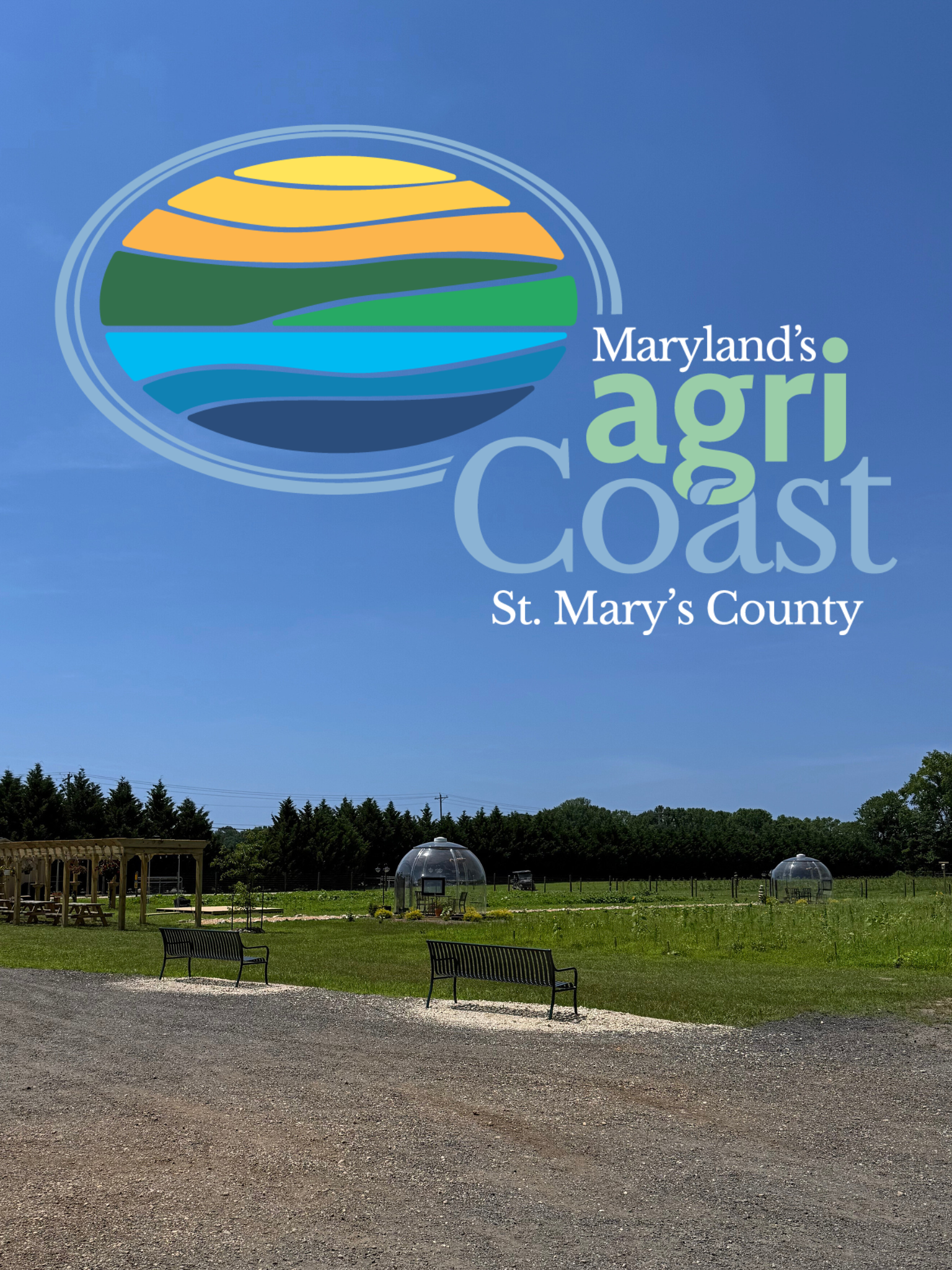
Maryland's agriCoast St. Mary's County
With over 500 miles of shoreline, 67,000 acres of farmland, and extensive forests, St. Mary’s County is defined by its working landscapes and waterways. Maryland’s coastal agriculture reflects the generations of farmers, watermen, and foresters who have built an economy deeply tied to the land and water, ensuring that these industries remain vital to the region’s identity and future.
Technology Resource Book For St. Mary's County
The Technology Resource Book for St. Mary's County is primarily a directory of technology businesses residing in St. Mary's County. With over 200 companies featured, the TechBook provides detailed profiles enabling businesses to locate and interact with key service firms to assist them in the future growth and success of their company. The Technology Resource Book also provides human resource contacts to assist job seekers as well as listings of local education and training institutes for local workforce development.

-
Targeted Industries
-
View All Targeted Industries
-
Defense/Commercialization of Defense Technologies
-
Unmanned and Autonomous Systems
-
Advanced Manufacturing
-
Aviation and Aircraft Modification
-
Agriculture and Aquaculture
-
Tourism
Tools & Resources:
Forward Focused
St. Mary's County is Focused on the Future
We are an innovation-driven community with a commitment to supporting the mission of Naval Air Station Patuxent River, nurturing entrepreneurship, expanding agriculture and promoting good life quality. Our strategy for moving forward:

The TechBook provides detailed profiles of over 200 technology firms and supporting organizations in St Mary's County.


St. Mary's County Department of Economic Development
23115 Leonard Hall Drive, Leonardtown, MD 20650
Email: ded@stmaryscountymd.gov
301-475-4200, ext 1400
FAX: 301-475-4414